
Work with GIS data
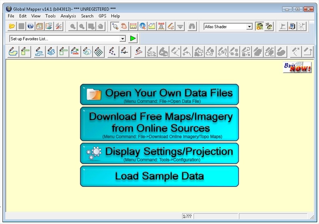
Global Mapper is a GIS (Geographic Information System) data processing software with all sorts of cartographic and map information for both professionals and beginners in the cartography world. Work with a comprehensive tool for the management of spatial data on your Windows PC.
Essential for anyone who works with maps and spatial data.
The program can be launched on its own or integrated as a module in other GIS tools, and it's capable of accessing a large amount of image repositories, survey data and DEM/DSM files.
Features of Global Mapper
- Support for more than 200 formats: raster data, vectors, elevation...
- Import and export from spatial databases.
- Access to cloud data thanks to its online integration.
- Includes support for KML and KMZ data that are native to Google Earth.
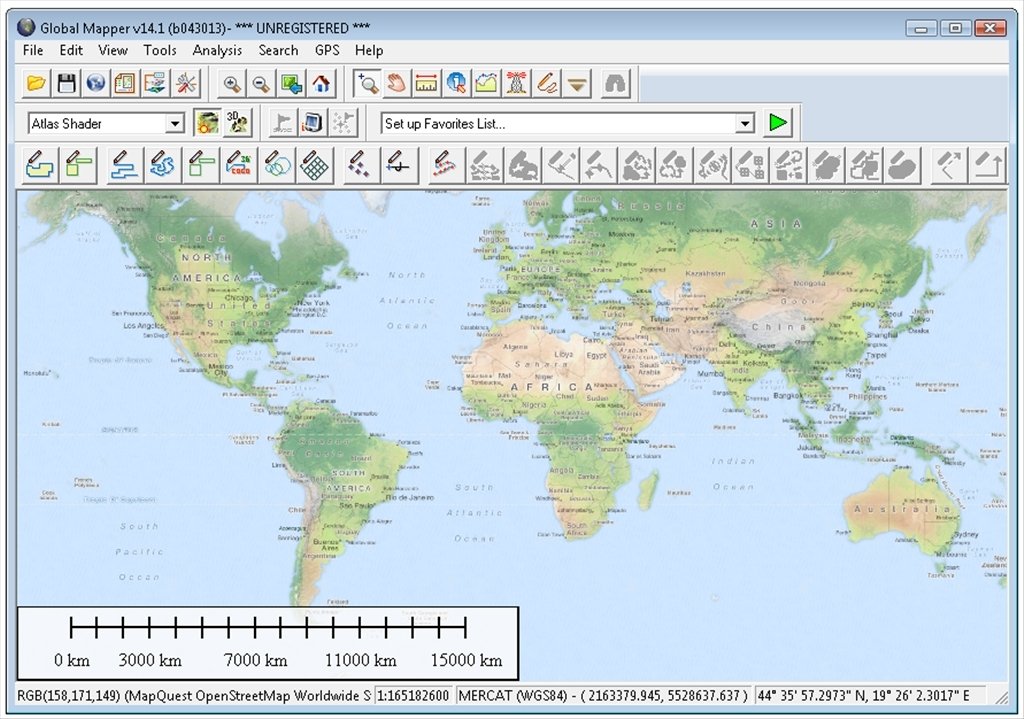
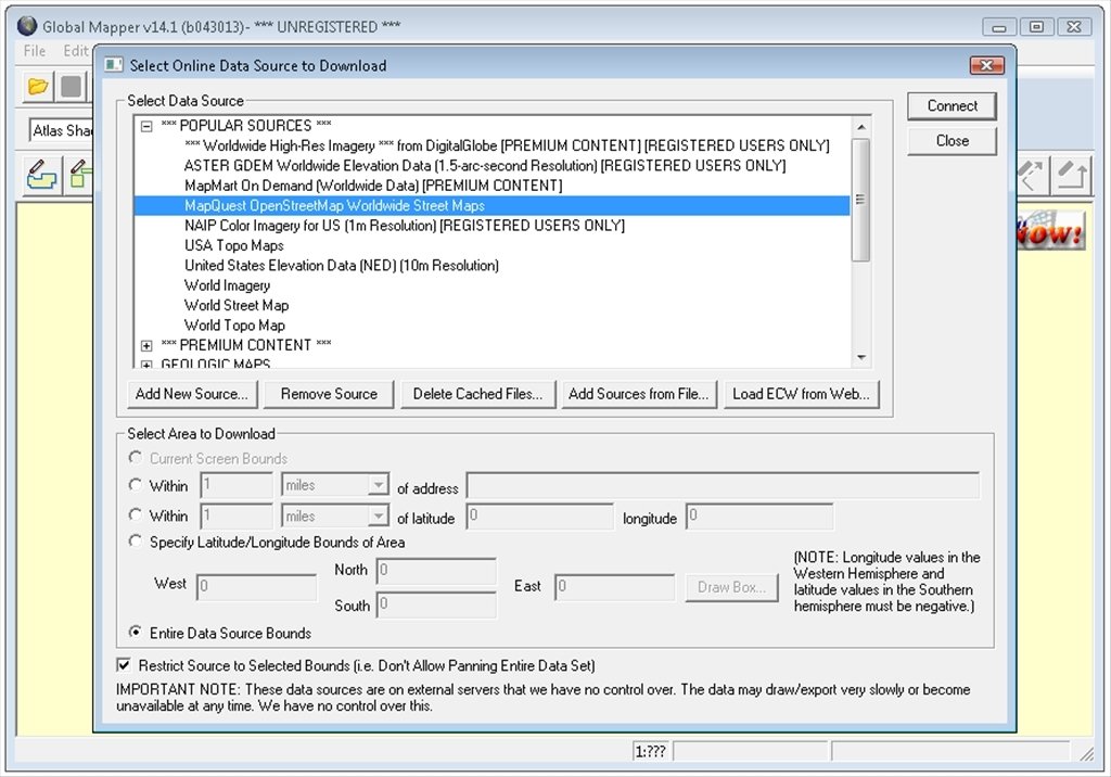
- Access to DigitalGlobe, OpenStreetMap and TerraServer-USA/MSRMaps material.
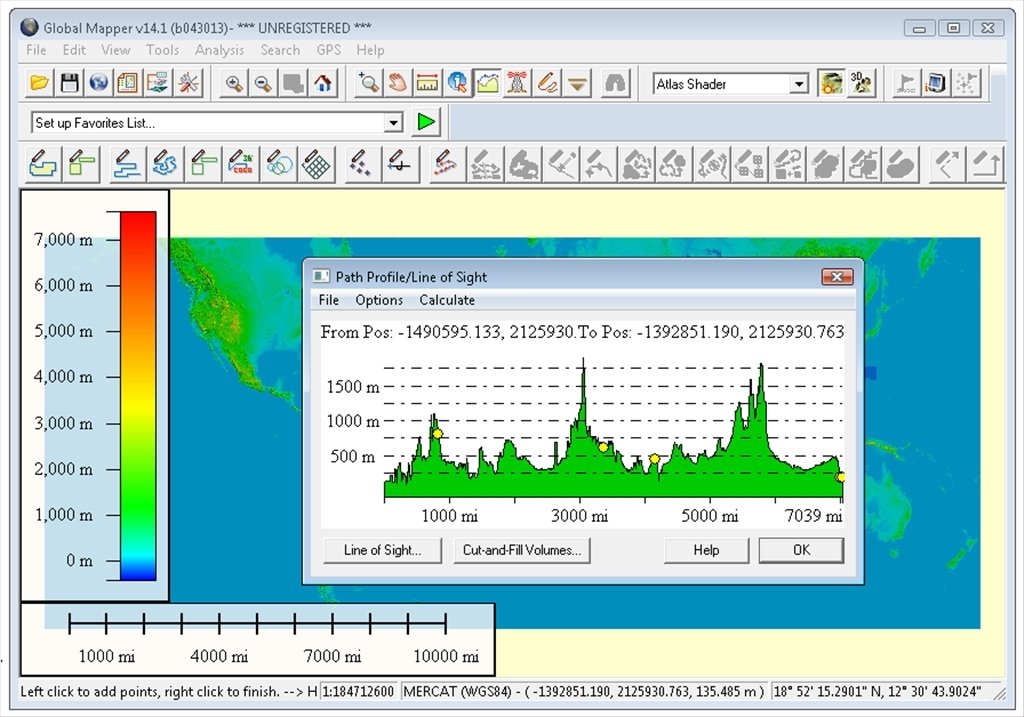
You can't even imagine the enormous amount of possibilities you'll have by downloading Global Mapper. Calculate distances and surfaces, raster blending, spectral analysis, calculate cutoff and filling volumes... Furthermore, Global Mapper is compatible with LIDAR data.
Download Global Mapper to work with geographic information systems.
Requirements and additional information:
- The trial version has certain limitations.
 Elies Guzmán
With a degree in History, and later, in Documentation, I have over a decade of experience testing and writing about apps: reviews, guides, articles, news, tricks, and more. They have been countless, especially on Android, an operating system...

Antony Peel